

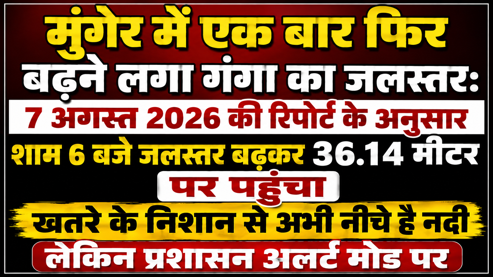
Ganga's Water Level Rises Once Again in Munger: According to the Report Issued on August 7, 2026, the Water Level Rose to 36.14 Meters at 6 PM; River Still Below Danger Mark, But Administration on High Alert
Munger: Fluctuations in river water levels persist across several districts of Bihar due to monsoon rainfall and the pressure of water flowing in from plain regions. In this context, a fresh and significant update regarding the rising water level of the Ganga River has emerged from the historical city of Munger. According to reports issued by the Central Water Commission and the District Disaster Management Department, an upward trend in the water level of the Ganga River is once again being recorded in Munger.
As per the latest official report (dated August 7, 2026), the water level of the Ganga in Munger was recorded at 36.14 meters at 6 PM on Friday, whereas it stood at 36.07 meters at 6 AM on the same day. This indicates an increase of 7 centimeters in the water level within a mere 12-hour span. Although the comforting factor is that the current water level remains considerably below the danger mark, the continuous rise has heightened anxieties among residents in coastal areas and the district administration. Let us examine the complete and detailed account of the rising water level of the Ganga in Munger, its current status, and administrative preparations.
Fresh Data on Ganga's Water Level: Rapid Surge in Water Velocity Within 12 Hours
The water resources department and flood control room are monitoring the water level of the Ganga River on a daily basis. Data released on August 7, 2026, clarifies that the river's trajectory is once again pointing upward.
Morning Versus Evening Figures: According to the report, the water level of the Ganga in Munger was recorded at 36.07 meters at 6 AM on August 7. However, driven by persistent daytime water pressure and inflows from upper catchment areas, the water level escalated by evening, reaching 36.14 meters at 6 PM.
Danger Mark and Current Status: The danger mark for the Ganga River in Munger is designated at 39.33 meters. Viewed from this perspective, the current water level (36.14 meters) is approximately 3.19 meters below the danger mark. Although the water remains quite far from the danger threshold, the steady pace of increase means flood apprehensions cannot be entirely dismissed.
Why Does the Rising Water Level of the Ganga Raise Concerns in Coastal Areas?
Even though the water level remains below the danger mark, lines of worry are clearly visible on the foreheads of residents living in the diara (flood-prone riverine) regions and low-lying areas of Munger.
Impact on Agriculture and Commuting in Diara Regions: Several diara localities in Munger begin to experience disruptions with even a minor increase in the Ganga's water level. Rising water levels threaten standing crops in fields and disrupt residents' connectivity with the mainland.
Risk of Soil Erosion: As water levels rise and recede, soil erosion along the banks of the Ganga accelerates. Soil erosion has been witnessed previously in several sensitive coastal pockets of Munger, creating an environment of fear among local villagers concerning their homes and settlements.
Vigilance by the District Administration and Disaster Management Preparations
Observing this continuous rise in the Ganga's water level, the Munger district administration and disaster management department have grown fully vigilant, initiating precautionary measures.
24-Hour Monitoring: The Flood Control Room has been fully activated. Teams of engineers and personnel are keeping a sharp eye on round-the-clock changes in the Ganga's water level, with hourly reports dispatched to senior officials.
Vigilance in Coastal Zones: Circle officers (COs) and the police administration in low-lying and sensitive areas have been instructed to maintain constant surveillance over the situation. Lists of boatmen, divers, and rescue equipment are being maintained to respond instantly to any emergency.
The data recording a water level of 36.14 meters at 6 PM on August 7, 2026, in Munger indicates that the waters of the Ganga River are ascending once again. While the current water level (36.14 meters) maintains a safe distance from the danger mark (39.33 meters), exercising laxity given nature's unpredictable temperament is unwise. The alertness and precautionary steps demonstrated by the administration are commendable. Residents dwelling in coastal zones are also advised to monitor continuous updates and prepare safe measures in a timely manner against any potential hazards.